
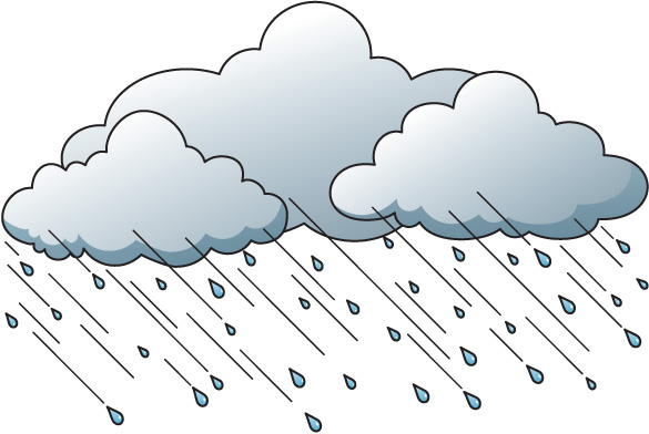
According to the National Weather Service in Tallahassee, this weekend’s weather is predicted to be severe. Here is the latest update:
Model guidance continues to show the potential for severe weather this weekend. Here is our updated forecast for the potential timing and threats of these storms.
Timing: Several rounds of thunderstorms will be possible over the weekend. Some of the storms Saturday afternoon and evening could be strong to severe. The greatest threat still appears to be Sunday through Sunday night.
Threats: Damaging winds, large hail, tornadoes, and coastal flooding will be possible.
Rainfall: In addition to the severe threat, 2-5″ of rain may accumulate across much of our area between Thursday night and Monday. This could lead to minor flooding


Be the first to comment