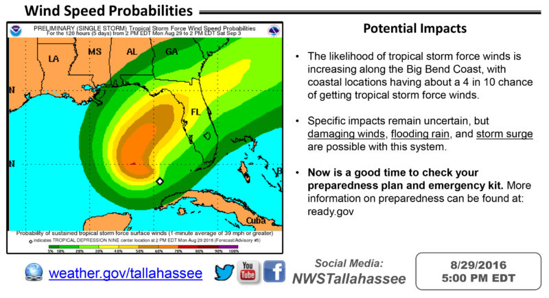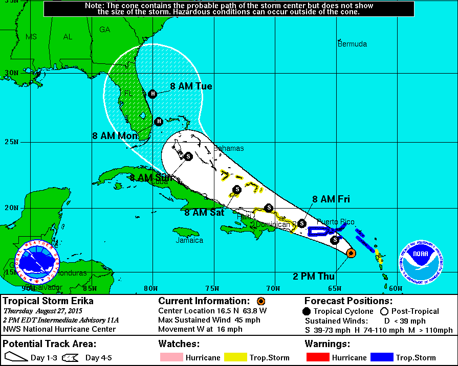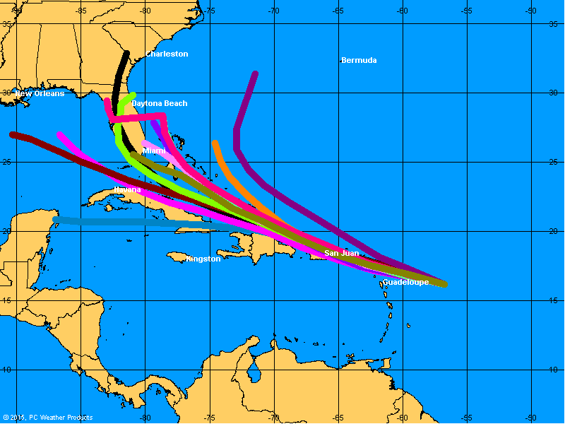

There were some signs on Saturday that Tropical Storm Erika – now a tropical disturbance – would head toward the Gulf of Mexico and impact the Florida Panhandle and Southwest Georgia. While the depression may bring some rainfall, the storm is less dangerous than it was several days ago.
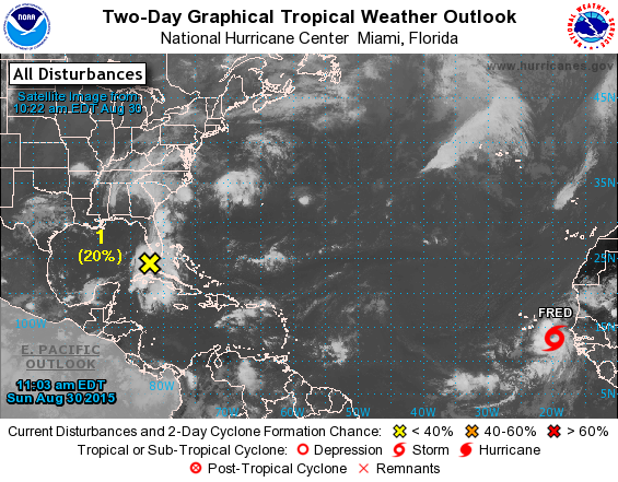
The bad news is that Tropical Storm Fred, which initially appears stronger than Erika with 50 miles per hour winds, has formed off the western coast of Africa. It’s still too early to know how it will affect the Caribbean or the United States.
Here’s what the National Hurricane Center has to say about what’s left of Erika as of Sunday at 8 a.m.:
A trough of low pressure associated with the remnants of Erika is
producing areas of heavy rain over portions of south Florida, the
Florida Keys, and Cuba.  Although there are no signs of
redevelopment at this time, upper-level winds could become
marginally favorable for tropical cyclone formation over the next
day or so.  Regardless of this system's prospects for regeneration,
locally heavy rains and gusty winds are expected to spread
northwestward and then northward across Florida and the eastern Gulf
of Mexico later today and Monday. Additional information on this
system can be found in marine forecasts and local forecast products
issued by the National Weather Service and the meteorological
service of Cuba.
And here’s an early look at Tropical Storm Fred:

[radar]


Be the first to comment