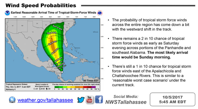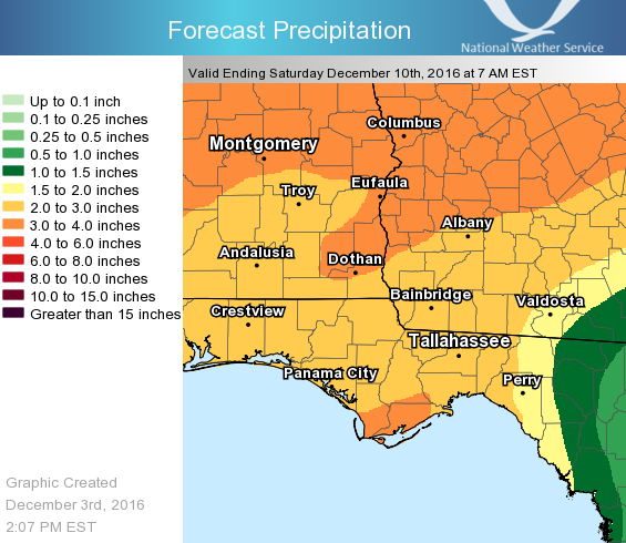
According to the National Weather Service in Tallahassee, the projected path of the tropical system that is brewing in the southern Gulf of Mexico has shifted slightly west, taking much of southwest Georgia out of the cone of uncertainty.
•Models have come into better agreement with each other and also favoring a more westward track through the Gulf.
•Confidence in the western track will increase should one or two more model runs continue to agree with each other. Caution should be exercised when deciding whether or not to adjust resources based on one model run.
•Portions of the Florida panhandle, southeast Alabama, and western Georgia remain in the cone of uncertainty. The center of the storm still has the potential to directly impact areas in the cone.
•The probability of tropical storm force winds across the entire region has come down a bit with the westward shift in the track.
•There remains a 2 in 10 chance of tropical storm force winds as early as Saturday evening across portions of the Panhandle and southeast Alabama. The most likely arrival time would be Sunday morning.
•There’s still a 1 in 10 chance for tropical storm force winds east of the Apalachicola and Chattahoochee Rivers. This is similar to a ‘reasonable worst case scenario’ under the current track.


Be the first to comment