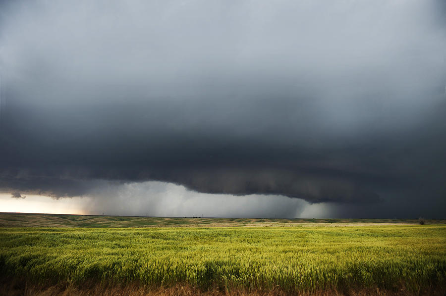
The storm system that was predicted to hit southwest Georgia today is moving slow enough that the rainfall predictions have now shifted into Tuesday and Wednesday.
According to the National Weather Service in Tallahassee:
“Unsettled weather is expected over the southern tier states for the beginning of the week as a cold front slowly moves southward and then stalls near the Gulf Coast. The moisture convergence in the vicinity of this boundary will provide enough lift for scattered showers and storms to develop on Sunday and into Monday. By Tuesday morning, a more concentrated area of rain and embedded thunderstorms is likely over parts of the southern Plains and the Deep South as a surface low develops over Texas and moves eastward. By Wednesday morning, the surface low is forecast to continue deepening as it tracks across Tennessee and the Ohio Valley. Widespread showers and storms are expected to develop ahead of the cold front across the southeast states and Florida.”
UPDATE 4:35 PM MONDAY
The Decatur County Emergency Management Office received a briefing on Monday at 2:30 p.m. from the National Weather Service. From that briefing:
“Key Points:
1. Significant Severe Weather Outbreak likely to evolve across the Southern States on Tuesday into Wednesday.
2. Main impacts in the Tallahassee forecast area are expected to begin Tuesday evening and continue through Wednesday morning.
3. Potential impacts are:
a) Destructive winds in excess of 70 mph.
b) Scattered tornadoes – some potentially significant
c) Large hail
4. After the passage of the cold front, strong west to northwest winds of 30 to 40 mph are possible, which could down trees after a widespread wetting rain.”
Here is the detailed forecast:
FLOOD STATEMENT
NATIONAL WEATHER SERVICE TALLAHASSEE FL
1044 AM EST MON FEB 22 2016

...The Flood Warning continues for the following rivers in Florida...
  Apalachicola River near Blountstown affecting Calhoun...
  Franklin...Gulf and Liberty Counties


PRECAUTIONARY/PREPAREDNESS ACTIONS...

All persons with interest along the river should monitor the latest
forecasts, and be prepared to take necessary precautions to protect
life and property. Do not drive cars through flooded areas. If you
see flood waters: Turn around. Don`t drown.

The Flood Warning continues for
  the Apalachicola River near Blountstown.
* Until further notice.
* At  9:15 AM Monday the stage was 15.0 feet.
* Minor flooding is occurring and Minor flooding is forecast.
* Flood stage is 15.0 feet.
* Forecast: The river will continue rising to near 16.8 feet by
  Thursday early afternoon then begin falling.
* Impact: At 15.0 feet: Minor lowland flooding begins. This level is
  the top of the bank at the marina.


Be the first to comment