
 Hunters, ever asked yourself “when does the rut happen in my part of the state?” If so, you are in luck. Staff with the Georgia Department of Natural Resources’ Wildlife Resources Division recently updated the statewide rut map (www.georgiawildlife.com/rut-map) with brand new information and it is ready for you!
“Each fall, a constant question we receive at our office is ‘when is the peak of the rut?’” said Charlie Killmaster, state deer biologist with the Game Management Section. “Until this year, we have referred to a map based on historic deer conception data that, while as accurate as it could be when it was developed, definitely needed updating.”
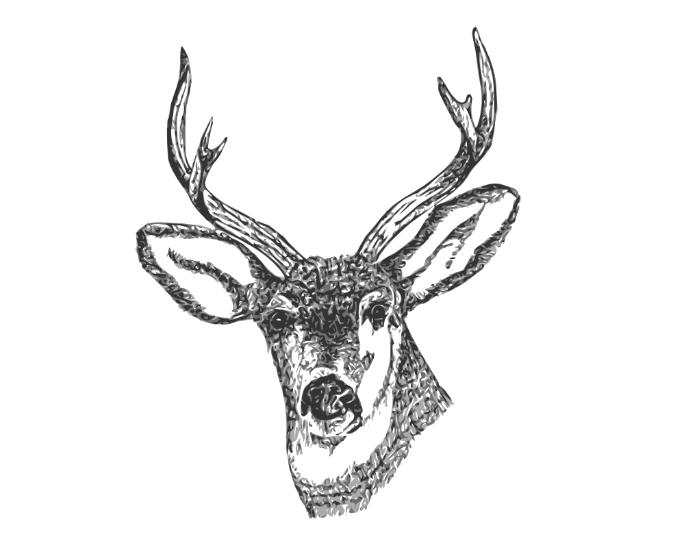
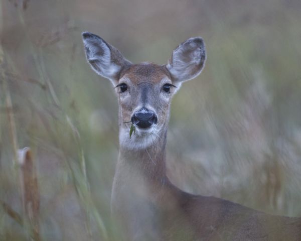
What is the “rut?” This refers to the breeding season for white-tailed deer, which can vary at the local scale, especially in areas that experience southern climates like Georgia. During the peak of the rut, a large percentage of female deer are ready to be bred and become much more active, increasing their daily movement and home range size. Additionally, male deer will move more frequently and longer distances as they seek out female deer.
Why do hunters like to know when the peak of the rut happens? More deer movement increases the chance to observe more deer, thereby increasing a hunter’s odds of seeing and potentially harvesting a deer.
So, how do you develop a map that correlates to a deer’s reproductive cycle? The greater movement by both male and female deer caused by this natural cycle also results in more deer traveling across roadways, making them more susceptible to being hit by motor vehicles.
Georgia Archery Deer Season Preview
Armed with this knowledge, University of Georgia graduate student Jim Stickles developed the idea to compare the chronology of deer-vehicle collisions with breeding activity. Recognizing the benefits of accurately predicting peak deer movement for both hunting and warning drivers, Stickles enlisted additional help from UGA and WRD.
After testing a variety of formulas to decipher the large dataset of deer-vehicle collisions, the collaborators pooled historical deer conception data and deer movement data from other ongoing studies. They found a strong correlation between peak deer-vehicle collisions, deer conception dates, and hourly movement rates of GPS-collared deer. Therefore, deer-vehicle collisions were used as an index of deer movement to map the peak dates of deer movement throughout the state. Deer-vehicle collision data was furnished by the Georgia Department of Transportation. A complete peer-reviewed manuscript detailing this project has been submitted for publication to the Journal of the Southeastern Association of Fish and Wildlife Agencies.
“This is yet another great example of collaboration between Georgia Wildlife Resources Division and the University of Georgia.” said Killmaster. “I’m continually impressed with the caliber of scientists at the University of Georgia’s Deer Laboratory. This project was only one of many collaborative research efforts with UGA, all specifically designed to improve wildlife management in Georgia.”
Thank you for buying a hunting license! State-managed public hunting lands are funded through a combination of state license fees and matching federal funds from the U.S. Fish & Wildlife Services’ Wildlife Restoration Program. Hunters account for $977 million in retail sales in Georgia each year with a $1.6 billion ripple effect and almost 24,000 jobs.
Want a preview of what to expect during deer archery season? A brand new video is available at www.youtube.com/georgiawildlife/videos . Be on the lookout for more deer videos as the season progresses.
To view the new rut map, visit www.georgiawildlife.com/rut-map . For more information on deer hunting seasons, regulations, licenses and WMA maps, visit www.georgiawildlife.com/hunting .


Be the first to comment