
Governor Nathan Deal has issued a state of emergency for many counties in south Georgia, including Decatur, Miller, Seminole, Early, Mitchell, Grady, Thomas and more. Also, the Decatur County Emergency Management Agency released the following at 11:30 a.m. on Thursday:
PRESS RELEASE
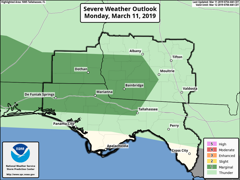
THE NATIONAL WEATHER SERVICE ADVISES: TROPICAL STORM HERMINE IN THE CENTRAL GULF OF MEXICO WILL SLOWLY APPROACH THE REGION TODAY AND LIKELY MOVE ONSHORE TONIGHT. THE HEAVIEST RAIN WILL LIKELY OCCUR THIS AFTERNOON THROUGH EARLY FRIDAY. MANY OF THE GAGES IN THE WATCH AREA WILL GET 5 TO 10 INCHES OF RAIN…BUT ISOLATED AMOUNTS OF 15 TO 20 INCHES ARE POSSIBLE. THESE HEAVY RAINS MAY CAUSE LIFE THREATENING FLASH FLOODS.
Decatur County is currently under a FLASH FLOOD WATCH through Saturday, September 2, 2016. Residents in low lying and flood prone areas should closely monitor weather conditions. Decatur County is under a TROPICAL STORM WATCH. Tornadoes could occur in this system.
Wind: Protect against DANGEROUS WIND having possible significant impacts across Southwest Georgia. Tropical storm force winds are expected across our area. Sustained winds 39 to 57 mph with gusts of 46 to 73 mph are likely. Prepare for uprooted trees and downed power lines with power outages. Power outages could last for several hours or days. Unsecured buildings and unsecured lightweight objects should be anchored or tied down, including toys, trampolines, trash cans and furniture.
Timing for this event for Decatur County is from Midnight, Thursday through noon on Friday, September 2nd .
Mandatory evacuations are not being made at this time. Residents should make preparations to protect life and property. Residents in mobile homes should continue to monitor weather conditions and wind advisories and seek shelter in a reinforced building or room.
No local shelters have been opened; however, if you have sheltering needs, and cannot make alternative arrangements please contact Decatur County EMA at 229-248-3869 as early as possible.
Be prepared for power outages and make final preparations before the arrival of tropical storm force winds around midnight tonight. This event will be an overnight event and should be out of our area by noon on Friday.


Be the first to comment