
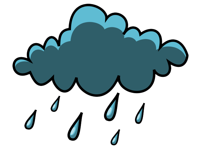
 Another round of severe weather could potentially impact Southwest Georgia later this week. According to the National Weather Service, southwest Georgia has an “increased risk” for severe thunderstorms that could potentially bring tornadoes, heavy rains and dangerous winds to the region. The threat begins Thursday and lasts through Saturday.
- The confidence in, and the threat for severe weather late this week continues to increase.
- The main threats would be damaging winds and tornadoes, with an equal chance of either at this time.
- Average rain amounts could be between 1-3” with locally higher amounts in the stronger — NWS Briefing 4/16/19
The good news is that southwest Georgia will see a brief cool spell Saturday and into Easter Sunday morning.
Detailed Forecast
Today
Sunny, with a high near 80. East wind around 5 mph.
Tonight
Mostly clear, with a low around 57. East northeast wind around 5 mph becoming calm.
Wednesday
Mostly sunny, with a high near 85. Southeast wind around 5 mph.
Wednesday Night
Partly cloudy, with a low around 62. South wind around 5 mph becoming calm.
Thursday
A 20 percent chance of showers after 2pm. Mostly sunny, with a high near 84. South wind 5 to 10 mph.
Thursday Night
Showers and thunderstorms. Low around 66. Chance of precipitation is 80%.
Friday
Showers likely and possibly a thunderstorm. Mostly cloudy, with a high near 72. Chance of precipitation is 60%.
Friday Night
Partly cloudy, with a low around 50.
Saturday
Sunny, with a high near 71.
Saturday Night
Mostly clear, with a low around 49.
Sunday
Sunny, with a high near 80.
Sunday Night
Mostly clear, with a low around 56.
Monday
Sunny, with a high near 82.


Be the first to comment