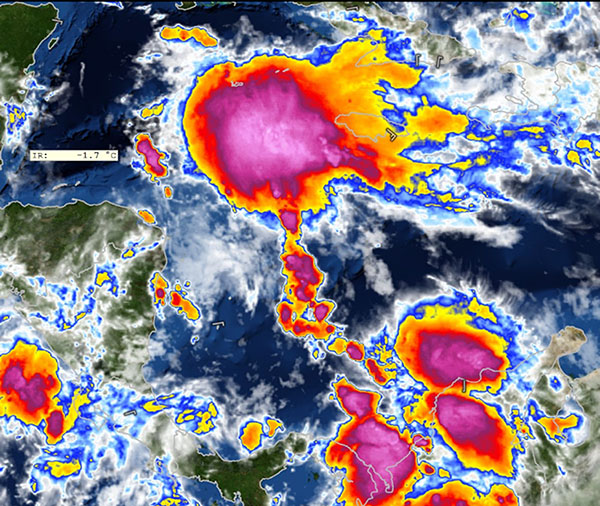
Tropical Storm Colin has formed and is heading to the Big Bend of Florida and is poised to bring lots of rain to south Georgia in the next few days.
Here is a Monday morning update from the National Oceanic and Atmospheric Administration and the Decatur County Emergency Management Service:
“Tropical Storm Colin is disorganized, making it difficult to determine the exact center of the storm. This could affect the forecast for later today and even slight adjustments will allow for slight changes to our impacts – please keep up to date with the forecast today!
1. The primary impacts in our area are expected to be related to flooding, both due to localized heavy rainfall and storm surge along the Apalachee Bay coastline.
2.Isolated very high rainfall totals – over 6 inches in a relatively short period of time – may lead to localized flash flooding, particularly in urban areas. The best chances will be across north Florida and much of south Georgia.
3.Several feet of storm surge inundation is expected along parts of the Apalachee Bay coastline on Monday afternoon during the high tide cycle. Preparations should be made along Apalachee Bay for inundation on the higher end of current forecasts (3-4 feet).”
According to this publication from the National Weather Service, we could be in line for 4-8 inches of rain.
“1. The primary impacts in our area are expected to be related to flooding, both due to localized heavy rainfall and storm surge along the Apalachee Bay coastline.
2. Isolated very high rainfall totals – over 6 inches in a relatively short period of time – may lead to localized flash flooding, particularly in urban areas. The best chances will be across north Florida and much of south Georgia.
3. Several feet of storm surge inundation is expected along parts of the Apalachee Bay coastline on Monday afternoon during the high tide cycle. Preparations should be made along Apalachee Bay for inundation on the higher end of current forecasts (3-4 feet).”

Be the first to comment