")
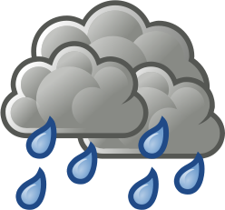
The National Weather Service in Tallahassee is predicting a marginal risk for severe weather in southwest Georgia today.
“Overview/Timing:
While much of the region is under a Marginal risk, the greatest threat for severe weather (although low) will be west of the Apalachicola and Chattahoochee rivers where the expected line of showers and storms will reach prior to sunset. Further east, the line will arrive after the loss of daytime heating which should limit the intensity of the storms, although widespread showers are still expected.
Threats:
The greatest threat with the strongest storms would be damaging straight line winds and possibly even some hail. The tornado potential is a bit lower, though it cannot be ruled out.”


Be the first to comment