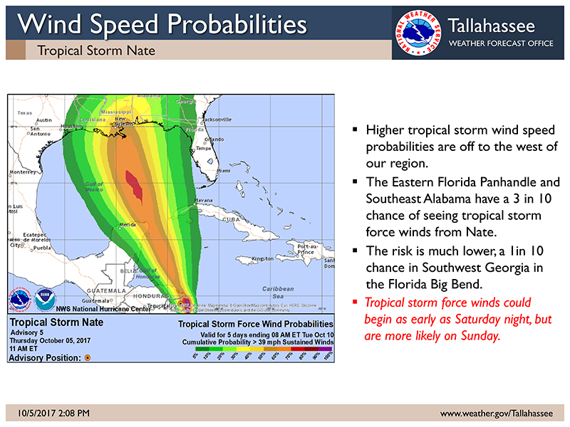
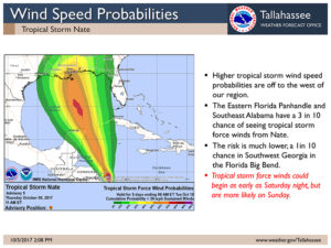
According to the National Weather Service in Tallahassee, the projections for Tropical Storm Nate continue to shift west, reducing the chances of a tropical storm or hurricane landfall near southwest Georgia.
The forecast track with Tropical Storm Nate has continued to shift to the west of the region. The afternoon model guidance continues to support this forecast.
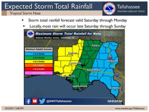
Even though the forecast has shifted, there are still potential for impacts from Nate in the western portion of our region, mainly in the Eastern Florida Panhandle and into Southeast Alabama.
Primary impacts will be limited to gusty winds to tropical storm force, isolated tornadoes, and above normal tides.
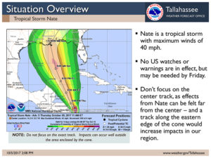
Nate is a tropical storm with maximum winds of 40 mph.
No US watches or warnings are in effect, but may be needed by Friday.
Don’t focus on the center track, as effects from Nate can be felt far from the center –and a track along the eastern edge of the cone would increase impacts in our region.



Be the first to comment